Drone Surveying
UAV Mapping/Drone surveying services in Gujarat
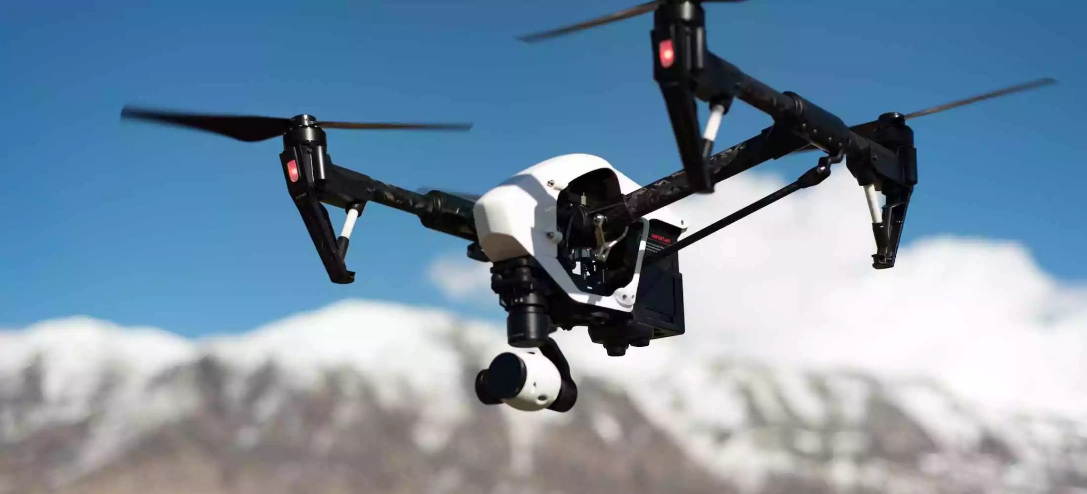
UAV mapping is carried out using drone surveys, which are well-equipped with RGB cameras, multispectral cameras, and other useful components. By using a UAV mapping system, the UAV is required to collect data from inaccessible places. Drone surveying in india is a lot more cost-effective technique to gather data and helps to receive accurate data in a digital format.
For any sector, Fibrox3D's extensive line of drone surveying equipment offers faultless solutions. Our goal is to give our clients the highest level of happiness while benefiting them with a product that fits their needs.
Benefits of UAV Aerial Mapping
Unmanned aerial vehicles (UAVs) can cover more ground during a survey than human aircraft. It shortens the surveying process and indicates reliable facts. Additional advantages of the drone mapping technology include:
Drone surveying captures aerial data quickly, helping document large sites, structures, and hard-to-reach areas safely and efficiently.
Drones collect high-resolution images and data, enabling accurate mapping, measurements, and visual records of site conditions.
Yes, drone surveys help track progress, validate work, and monitor changes throughout construction phases.
It reduces the need for manual access to hazardous or elevated areas, minimizing safety risks during surveys.
Drone surveys are ideal for heritage sites as they capture detailed data without physical contact or structural disturbance.
Drone photogrammetry delivers reliable accuracy for mapping, volume calculations, and documentation when supported by ground control.
Deliverables include orthomosaic maps, 3D models, point clouds, elevation data, and inspection visuals.
Drones cover large areas quickly, reducing survey time and costs compared to traditional ground-based methods.
Yes, drone data integrates seamlessly with BIM and GIS platforms for planning and analysis.
Drone surveying is faster, safer, and more cost-effective for large or inaccessible sites.